McCormick Park Field Outings
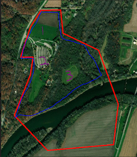
Over the course of the previous two weeks, my classmates and I have engaged in aerial data collection over a forest located 1.7 miles from Purdue University Airport (KLAF). The flights were conducted in conjunction with local air traffic, and approval was received from KLAF for these flights. We went out to fly multiple days and flew various aircraft. There were instances where either: the flight path was not registered by the aircraft, the data was not captured during the mission, or the aircraft would lose signal mid-flight. This caused us to rotate between different aircraft.
Since the flight was over a large wooded area, it was difficult for the flight crew to maintain visual line of sight (VLOS) during the operation. To solve this problem, we broke up into three different teams around the perimeter of the woods and maintained radio contact throughout the course of the operation. This "daisy-chain" allowed us to conduct an autonomous flight mission even though the pilot was unable to see the aircraft the entirety of the flight. Our various teams would call out when we spotted the aircraft as well as when we lost contact with the aircraft. This allowed the pilot to understand where the aircraft was, and assure that someone had eyes on it at all times.
The data gathered during these flights is going to be used for a research project conducted by my professor and one of my classmates. The purpose of the research project is to classify different forest species by using RGB imagery. This data will also be taken back into the lab where we can practice more with the ArcPro software to enhance our GIS knowledge.
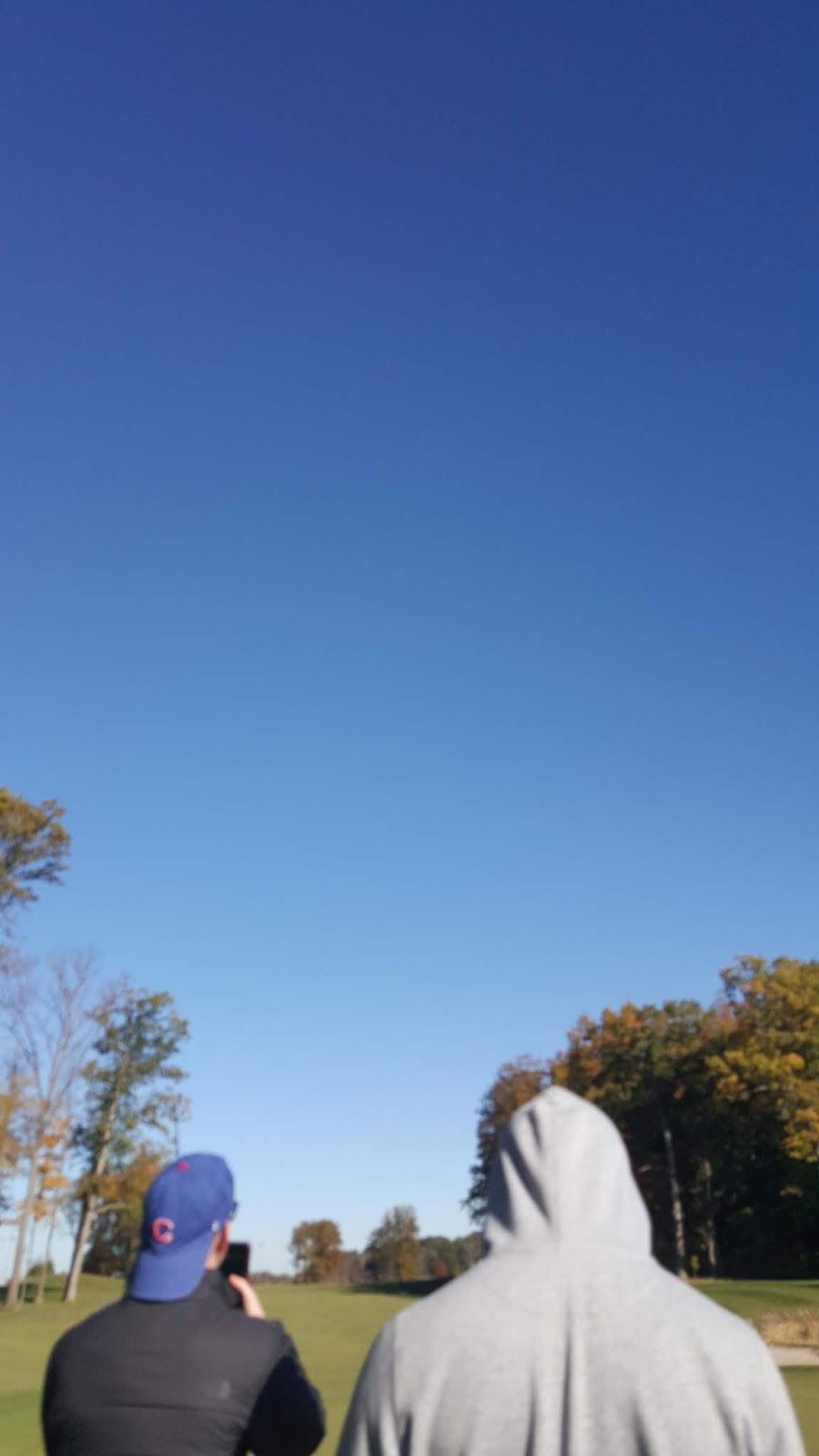 |
| Dylan McQueen (left) and I maintaining radio contact with the pilot during flight operations |

Comments
Post a Comment